Boating all of Lake of the Ozarks
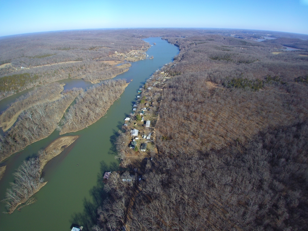
From it’s start at the swampy convergence of the Little Osage, Maries des Cygnes, and Marmaton Rivers near Schell City, MO, the Osage River flows through central Missouri before draining into the Missouri River, east of Jefferson City. By building a dam near Bagnell, MO, the Osage River between Warsaw and Lake Ozark became the Lake of the Ozarks.
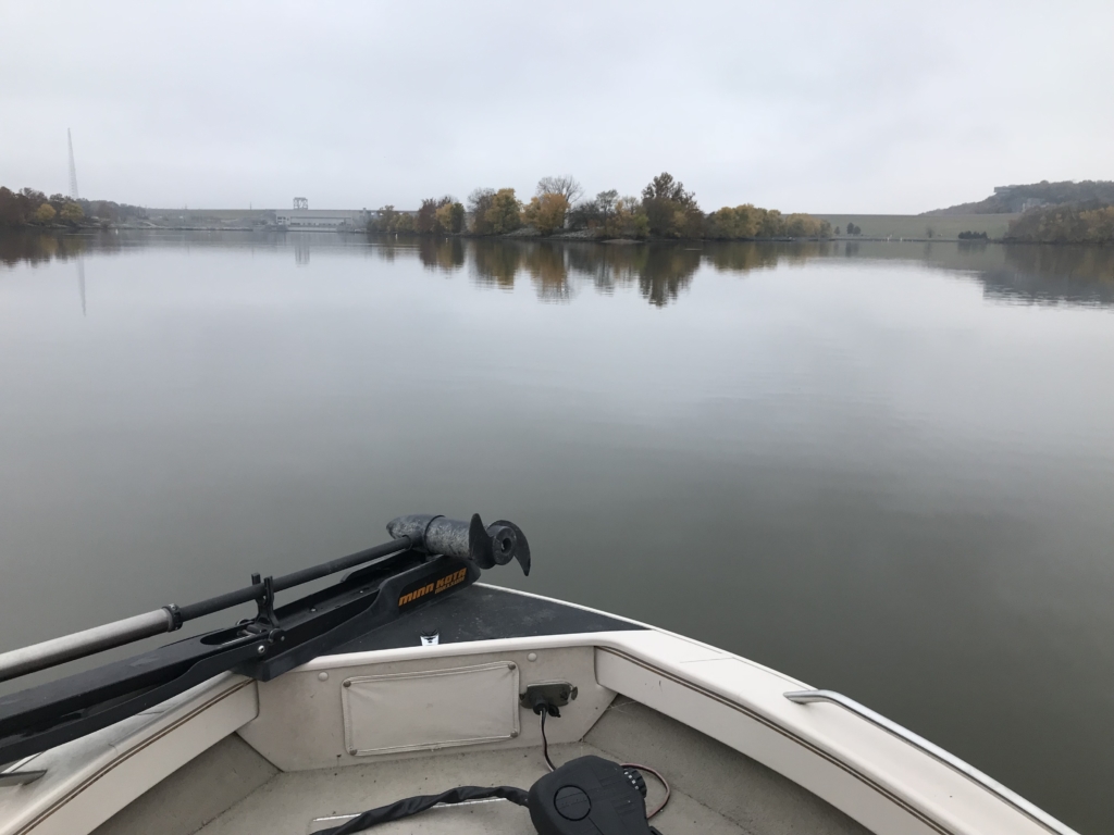
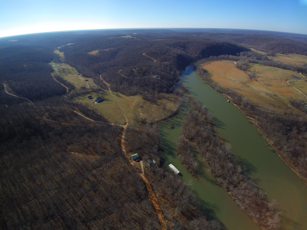
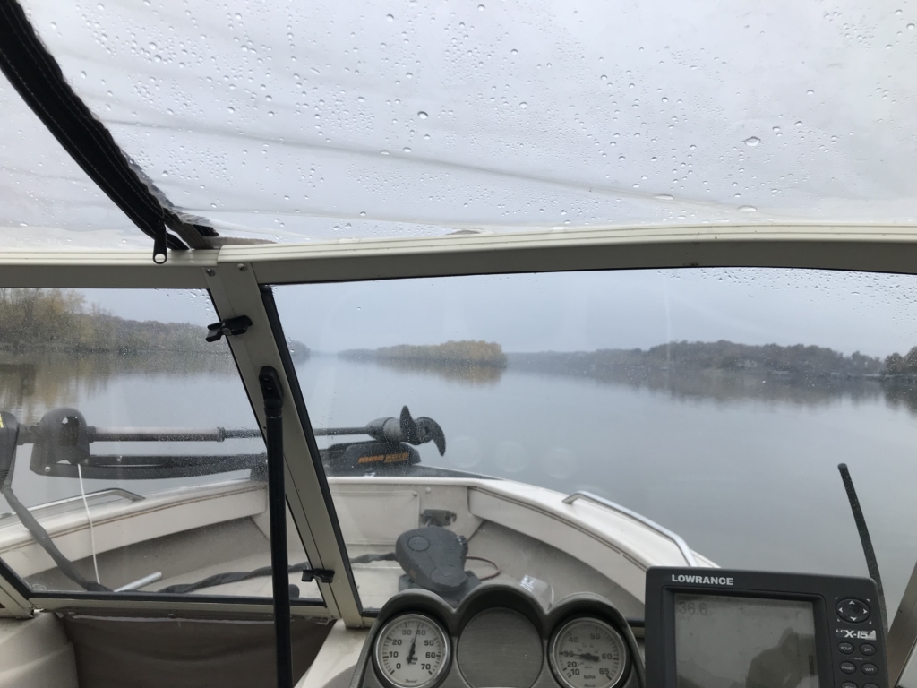
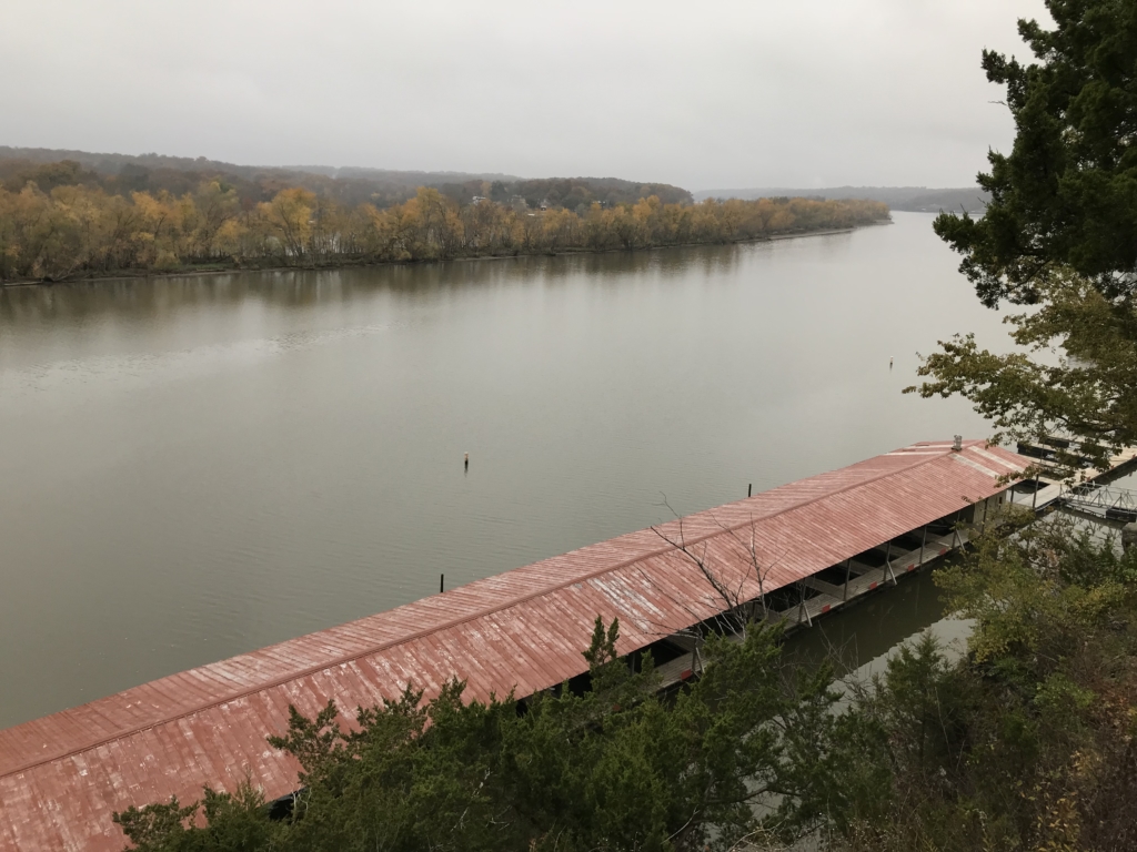
For an inland body of water, the Lake of the Ozarks provides a pretty large area for recreational boating. Confined to the hills and bluffs carved out by the Osage River, the lake has river-like qualities, winding it’s way between the Truman Dam upstream and the Bagnell dam at it’s downstream end.
The lake has over 54,000 acres of surface area and runs 92 miles between the two dams, with the majority of boat traffic between the 0 and 34-ish mile markers.
“Which mile marker are you at?” is an often asked question here, with most people referring to a mile marker on the Osage.
However, there are also four major arms on the lake where the Grand Auglaize Creek, Niangua and Little Niangua Rivers, and the Gravois/Little Gravois Creek once flowed towards the Osage River, and are now impounded as parts of the lake.
The Gravois arm is about 10 miles long with it’s mouth at the 6 mile marker of the main lake.
The Grand Glaize arm is about 14 miles long with it’s mouth at the 19 mile marker of the main lake.
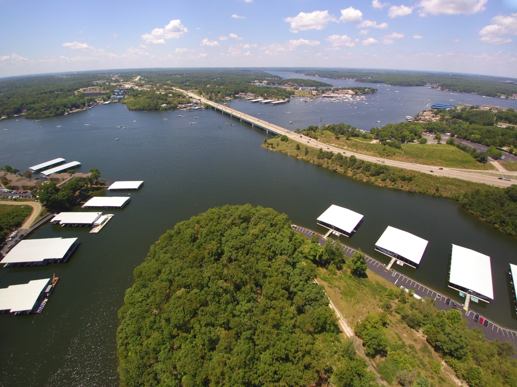
The Niangua arm is about 16 miles long with it’s mouth at the 31 mile marker of the main lake in the area known as the four corners, where the Osage (main lake), the Niangua arm and Linn Creek branch all come together.
The Little Niangua arm is about 9 miles long with it’s mouth around the 6 mile marker of the Niangua arm.
Right. Confused yet? See this map from Funlake.com https://www.funlake.com/Media/Default/Documents/VG%20Map.pdf
Now, if you were able to follow all of that, when someone says “We’re at the 4 mile marker of the Gravois, or the 2 mile marker of the Glaize, you can do more than just stare at them confused. If you don’t get it, that is ok, you can just keep saying “Oh, that’s cool, we had a lot of fun at the lake.”
So, with over 140 miles of main channels to boat on, why not go and see all of it?
While we do the same as most boaters at the lake and stay within 20 miles of our place for most of the summer, other times of the year, and when we are fortunate enough to be there on weekdays, we like to go and see more.
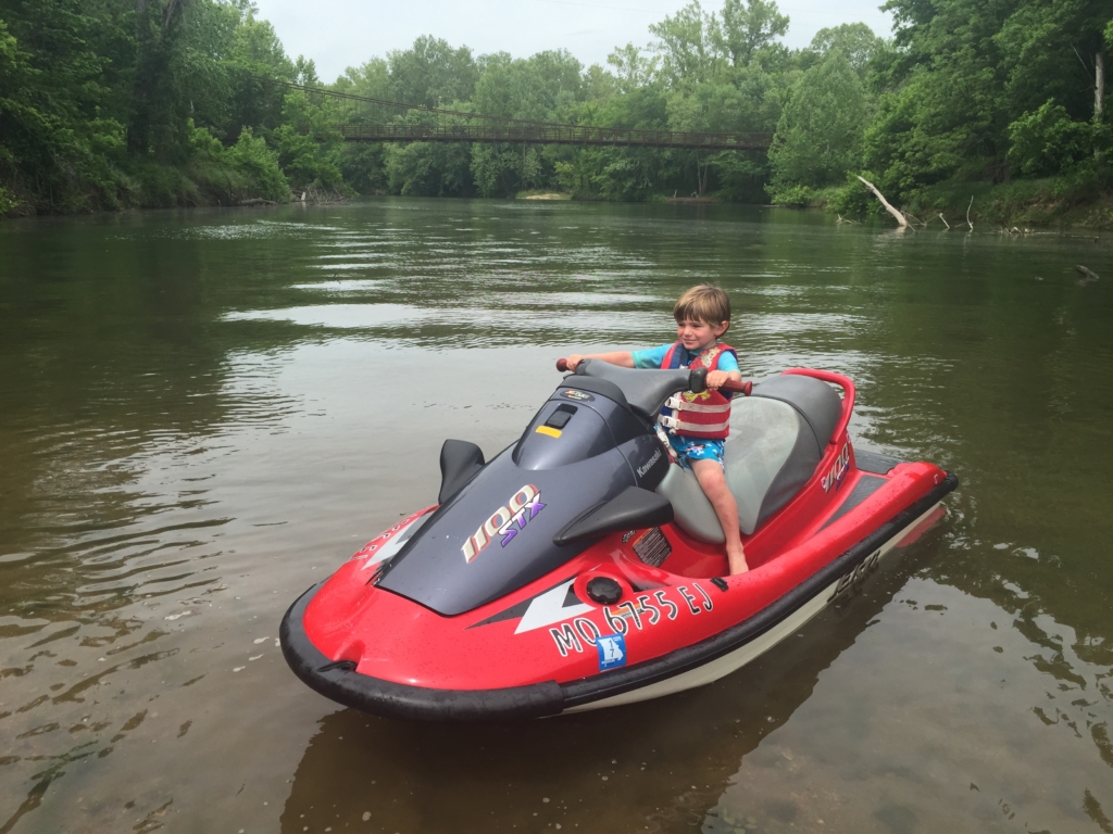
This works out well because to get up to the ends of the arms, you need PWC, or a little boat that can float in shallow water. For example, we would not take our 31′ Sea Ray past the 9 mile mark of the Grand Glaize, (by the cove with the hanging baskets) but we’ve gone all the way past the swinging bridge with a PWC and smaller boats.
This post is not about the food, drinks or entertainment along the way, but rather just boating to see every single mile of the lake.
Grand Glaize
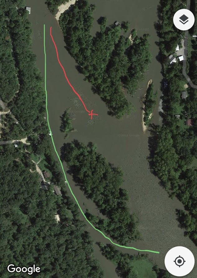
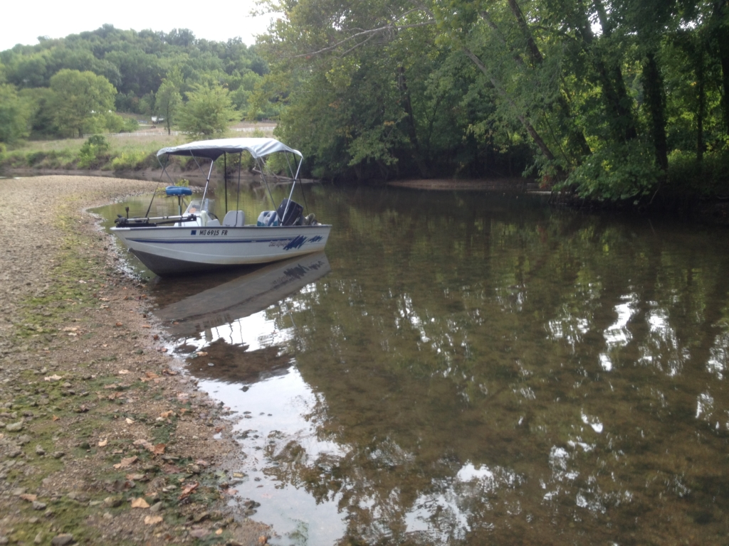
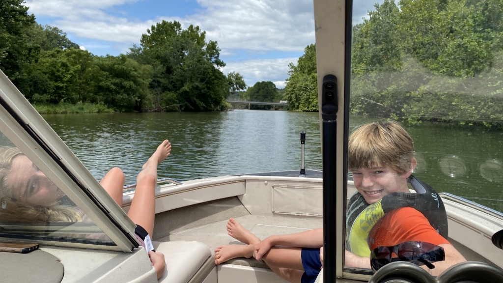
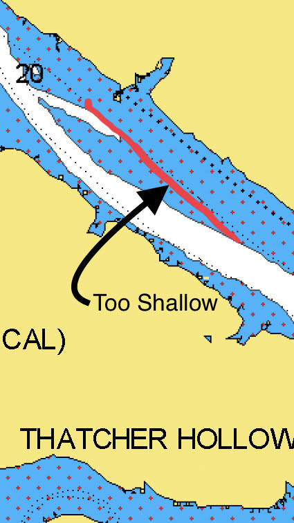
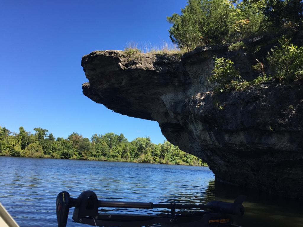
Since our place is up the Grand Glaize arm, we often explore the state park area and have gone all the way up into the Grand Auglaize Creek to the swinging bridge several times. It is quiet and calm, but you will want to get the Navionics app or something similar so you can follow the creek channel. Once you get about 11 miles up, the lake is deceptive, appearing just as wide as normal, but outside of the creek channel most of it is less than 2′ deep.
When you see the blue herons standing in the middle of the lake, it is pretty shallow. Another clue is big logs that at first appear to be floating, but they are actually sitting on the lake bottom. In fact, even though I had been all the way up in to the creek a few times before, I was tricked by a log that actually was floating one summer.
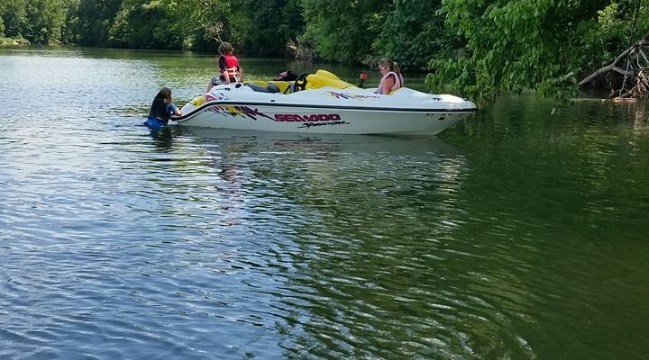
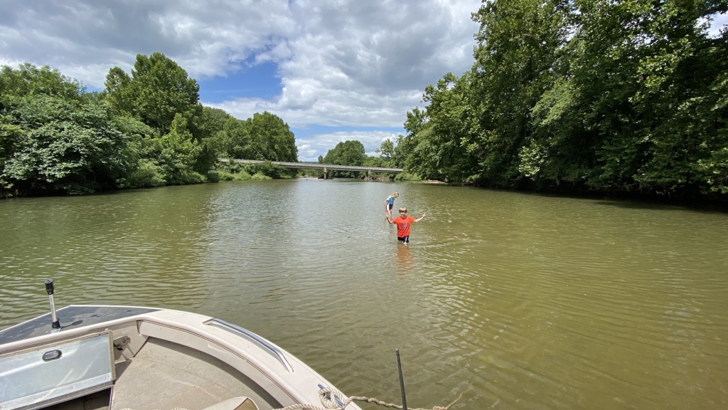
The family and I borrowed our neighbors Sea-Doo boat, while Kari’s sister and her husband followed us upstream on the Jet Ski. It was a sunny 97 degree day, with a heat index of around 103. With the cooler and the snack bag loaded up, we set out to enjoy the cool, spring fed creek at the swinging bridge.
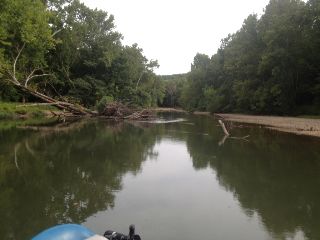
Coming up on the islands, I was pretty sure I wanted to keep left, on the right side of the islands, but away from the right bank. In front of me was a medium sized log that I assumed was sitting in shallow water, and that the channel must have changed since the last time I was up there. I went right of the log, and suddenly noticed I was in less than a foot of water. I stopped quickly, coming to rest on the bottom, but forgot to kill it before sucking some of the lake bottom into the starboard impeller.
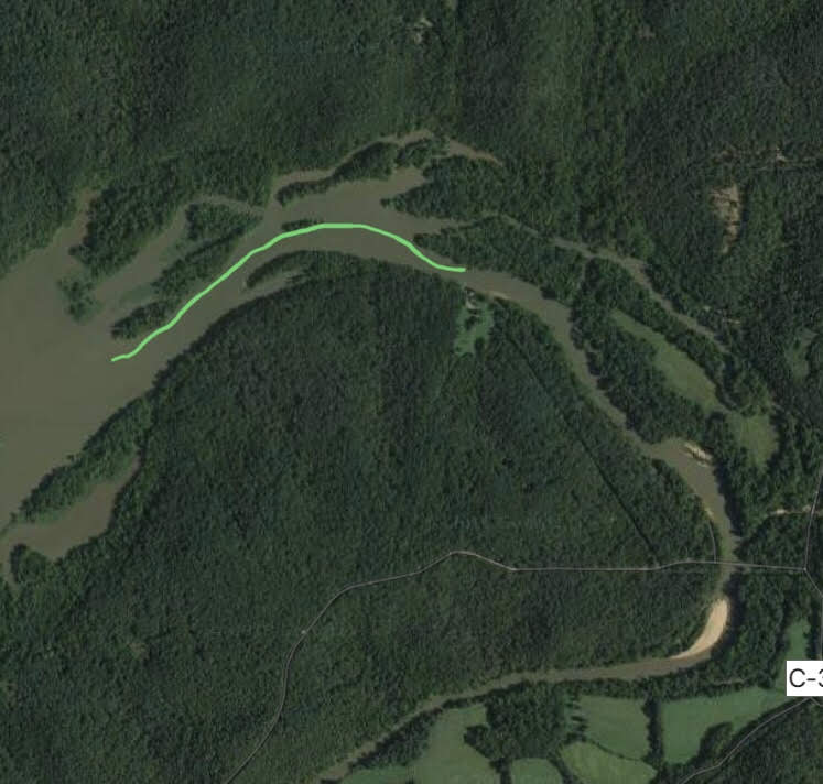
It turns out that the log was floating in the channel.
I waved for them to stop the Jet Ski and not come to where I was, before getting out to shove us into deeper water. Assessing the situation, I could not reach into the impeller tunnel far enough to clear the jam, and we could not get up on plane with just one engine.
Heading back fifteen miles at 5 mph in the 103 degree heat was not an attractive option, so I left them there with the cooler and snacks to enjoy the cool spring filled waters, while I hustled back on the Jet Ski to get the truck and trailer.
Often the source of Kari’s embarrassment, the beat up blue Suburban was what we had to retrieve the temporarily disabled Sea-Doo boat and get us all back home, but even that came with some complications.
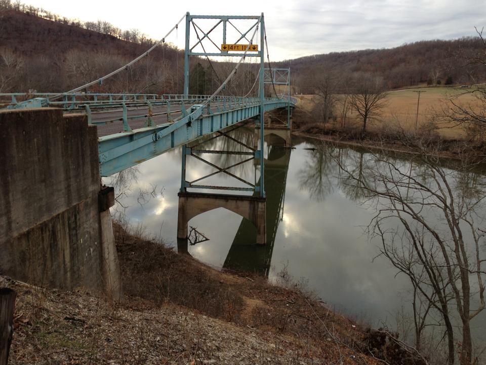
Upon arriving at the swinging bridge primitive campground, where I could drive out and get the boat, there was a car partially blocking the access to the gravel bar (kind of like blocking a boat launch). I asked a group of people nearby if it was their car, because I need to load up a boat. They begrudgingly replied that it was and they were leaving soon and would move the car then. After walking out to let my family know I was there and walking back to the truck, several minutes had passed and the car was still there so I told the group “Don’t worry about moving it, I think I can get around it.” Now, there was absolutely no way I could actually fit around it, but when they looked at old blue and judged my determination to get out there, they realized that moving the car would be prudent.

Backed in and loaded up, the boat and trailer promptly sunk into the loose, wet, gravel bar. Luckily old blue, ugly as she is, has an 8.1L, 1 ton axles, and ARB locker. So with it set in 4 low, locker locked, we proceeded to have a tractor pull, using all of it’s horsepower for about 200′ before hitting solid enough land for the trailer tires to actually support the trailer.
We didn’t get it on video that day, but it generally looks like this:
Kari was proud. Well, no she wasn’t, but at least we were in Brumley where old blue can feel at home. Back on solid ground, we could look into the impeller tunnel, and see the rock that had caused the problem. I had Alli reach in with a stick and remove it, since my arm wouldn’t fit, and once clear, the Sea-Doo fired right up and was good. No one was interested in putting it back in and driving it home though.
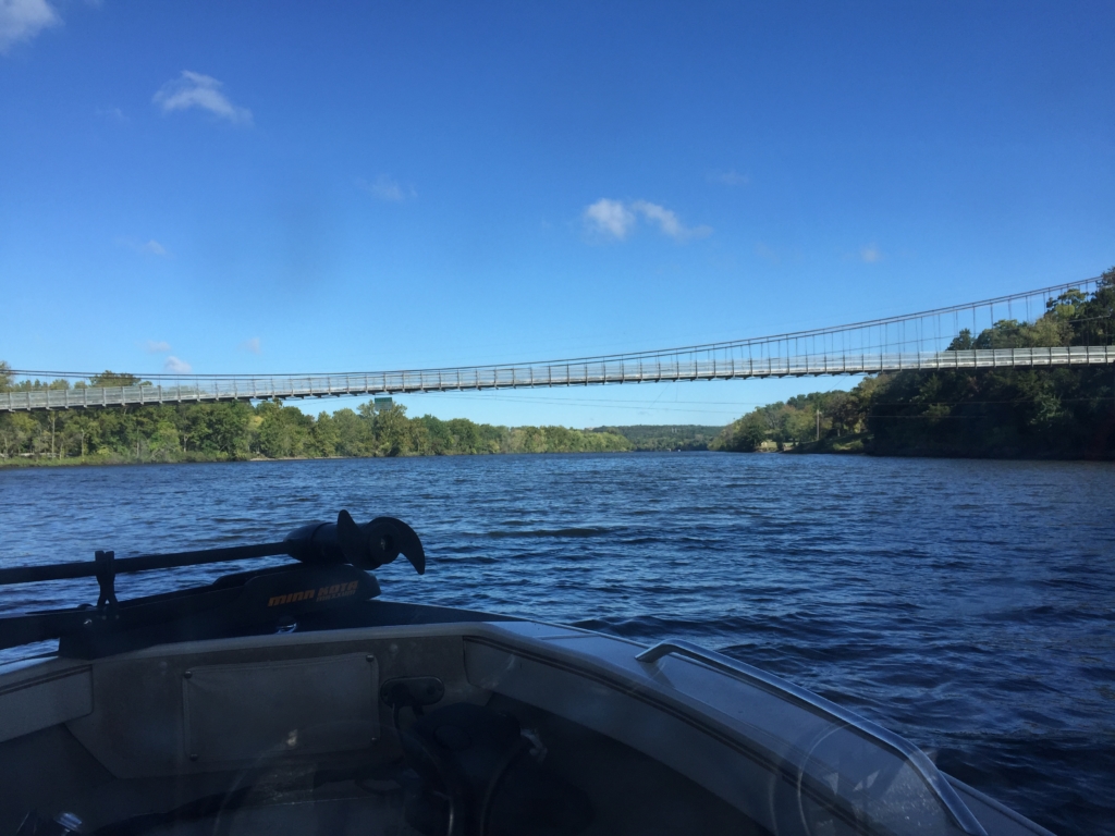
Only one last issue. At the time this all happened, the sign on the swinging bridge declared a weight limit of 5 tons. Knowing that the Suburban weighs around 7,500 lb with just me in it, and not knowing for sure what the boat and trailer weighs, we guessed that we were probably pretty close to the 10,000 lb weight limit.

We made it, and the bridge is still up. I noticed that they have lowered the limit to 3 tons since then, so next time I’d have to go the long way, or just stay in the deeper water.
Niangua
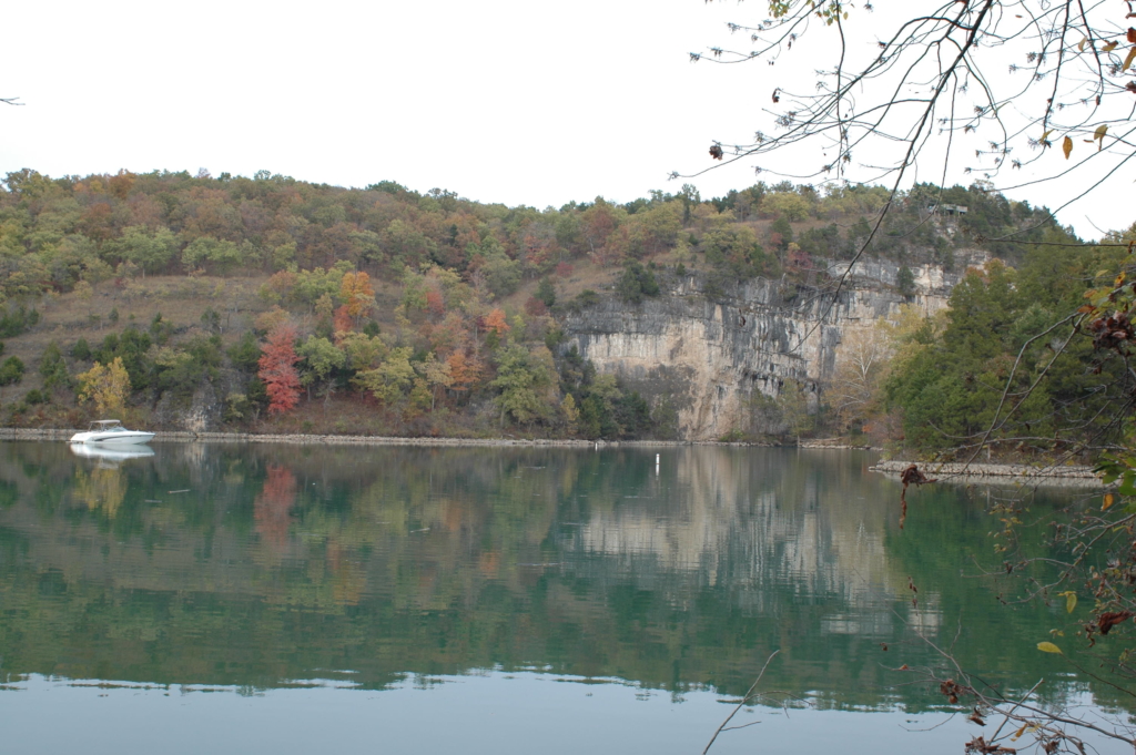
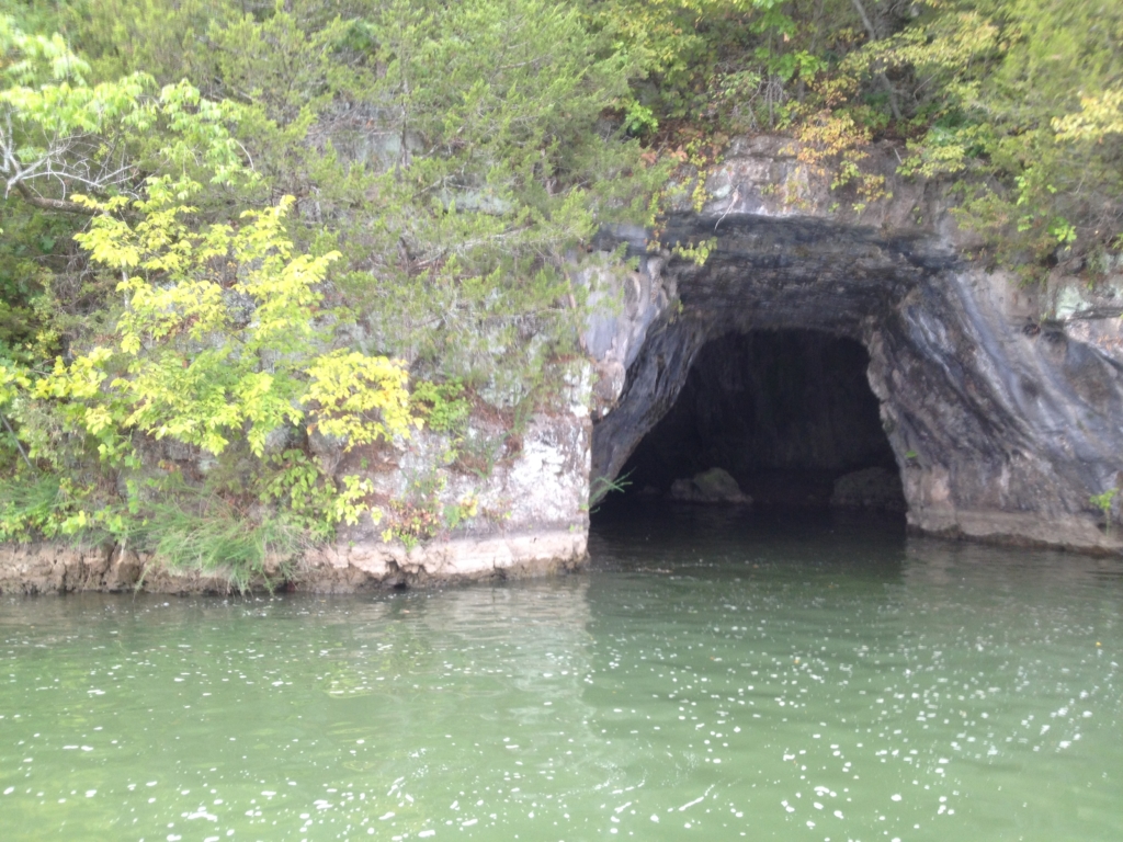
Up the Niangua arm, things start getting shallow enough that you need to pay attention, and ideally have a reliable map or app by the time you get to the cove at Haha Tonka. Haha Tonka is a popular place to be on very hot days in late summer, when the spring’s cool 55 degree water makes this cove more refreshing than all of the others.
Venturing past Haha Tonka, the Niangua is very river like, becoming more and more narrow. There is even a road sign at one point in a narrow channel, warning boaters not to go that way – the sign is not correct – you need to go that way.
In fact, we heeded the sign’s instructions, and went the other, wider, and more inviting way. Running between 18-20 mph to keep our 16′ aluminum deep V on plane, we went through without a care in the world, until we came to an immediate and unexpected stop due to the shallow water. No speakable injuries, we shoved back into deeper water and went the narrow, deeper way, flipping the sign off as we went by.
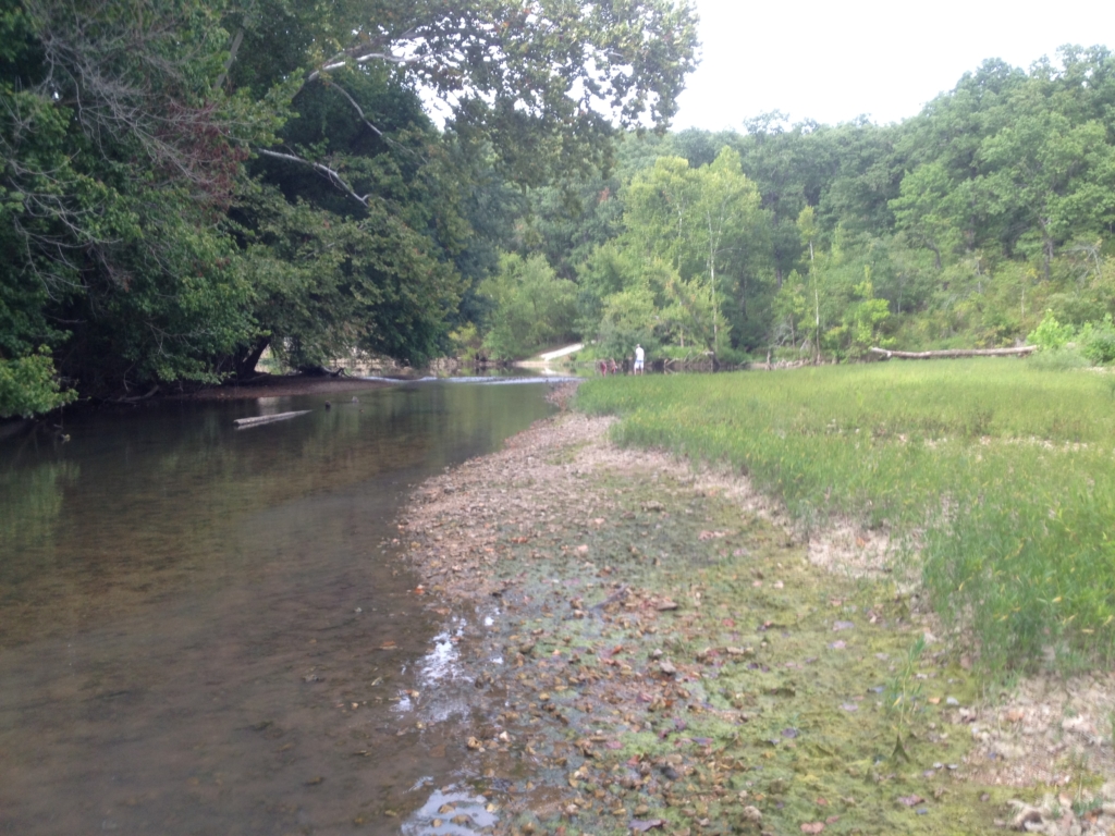
Continuing until you are actually in the river, the houses and docks disappear and are replaced by gravel bars. We were only able to go a couple of miles up the river before logs in the channel gave me enough concerns about the propeller to end our progress upstream.
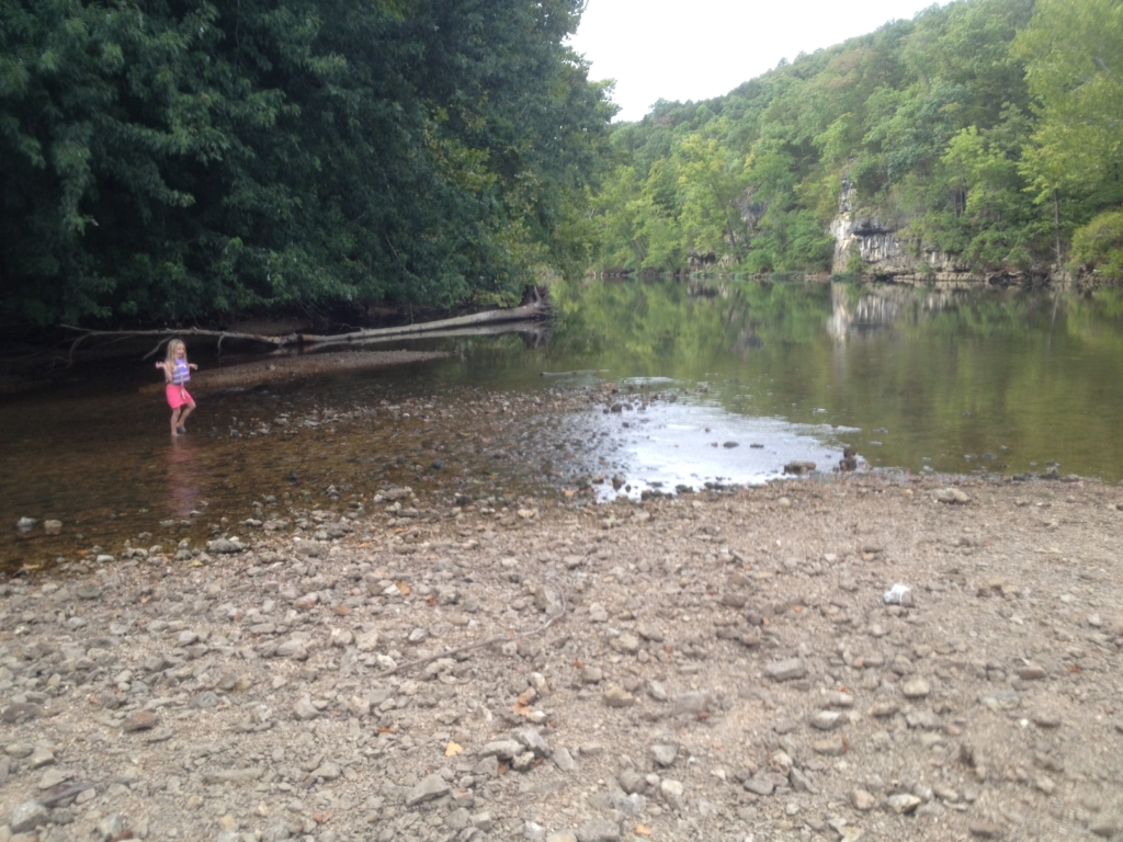
It is quiet and pretty this far up, and makes for a nice place for the kids to throw rocks, build dams, and other kid stuff.
I know that there are places to access the river by car and save the hassle of boating there, but that could be said of just about any inland waterway. Here though, there is no easy access, and because of this it was just us, which is worth it.
Little Niangua
Like the other arms, the Little Niangua also gets shallow several miles upstream, and you’ll need to stay in the deep channel. In fact,… just kidding, I have not run aground up this arm. Yet.
There are docks with cruisers up until around 3-4 miles, but beyond that it is mostly toons and fishing boats. Once you get to about 8 miles up, it is fishing boats, some PWCs, and canoes. Around 9 miles up you’ll go under the old J road bridge (while it lasts). We have made it maybe a mile or so past the bridge before it becomes strictly canoe and kayak water.
Gravois Arm
The Gravois arm is generally wider than the other arms of the lake, and going up the Gravois was mostly just an adventure in the sense that we were in an 18′ aluminum boat (coming from the 19mm), but it was a Tuesday so all was well. There are plenty of places to eat and drink, and the houses and docks continue up until nearly where the creeks come in. Going upstream near the start of the arm it breaks into the Gravois and Little Gravois, for there respective feeder creeks, and downstream there is also another arm within the arm, where Indian Creek comes in. As usual it gets very shallow as you continue upstream until finally, you can just get out and walk.
The other end of the lake – Warsaw
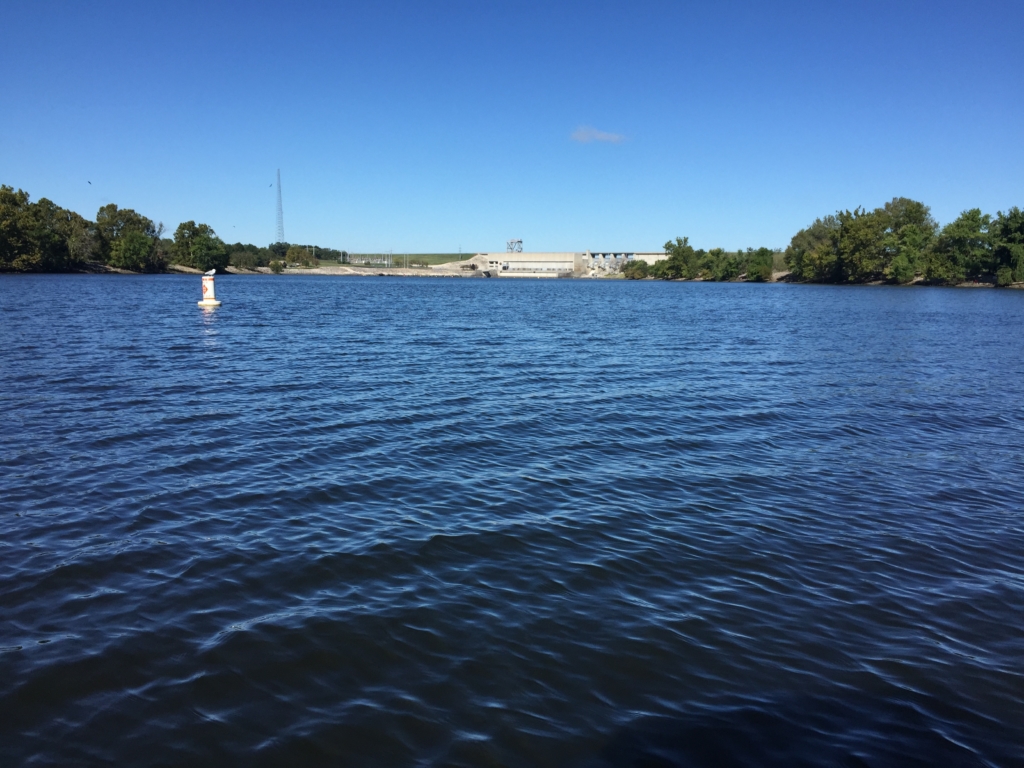
When you are up for a nice day long or overnight trip, you can head up to the 92 mile marker where the Osage runs into the bottom of Truman Dam at Warsaw, MO.
Like the arms of the lake, the main lake also gets narrow and shallower as you head up stream. Unlike the arms though, you can stay on plane the whole way as long as you know where the channel runs.
We did find out, if you are using an app, download offline maps in case you lose cell service, which you probably will. I stopped around the 75 mile mark because my map was no longer showing me the channel, and then realized that we were only in about 2 feet of water.
We went a short way upstream to find that Buck Naked was still open for their last weekend of the season. Having a couple of drinks and using their wifi, we were able to download the offline maps and continue on without concern.
There are several islands in the last 10 miles and you’ll want a map to know which side is the deep channel.
If you travel very far upstream outside of the main summer season and will need food, gas, drinks or lodging, you will want to call some places before you set out and make sure they are open and stocked. A lot of places close after Labor Day.
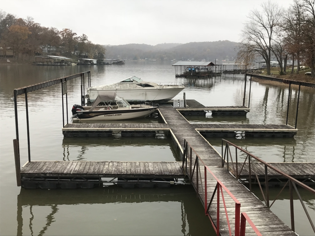
There is a harbor with public docks at Warsaw where you can park and go into town. There are some shops and maybe a restaurant or two.
We stayed at the old Oar House, but it was off season so it was just us, and the restaurant and bar was closed. Worked out fine.
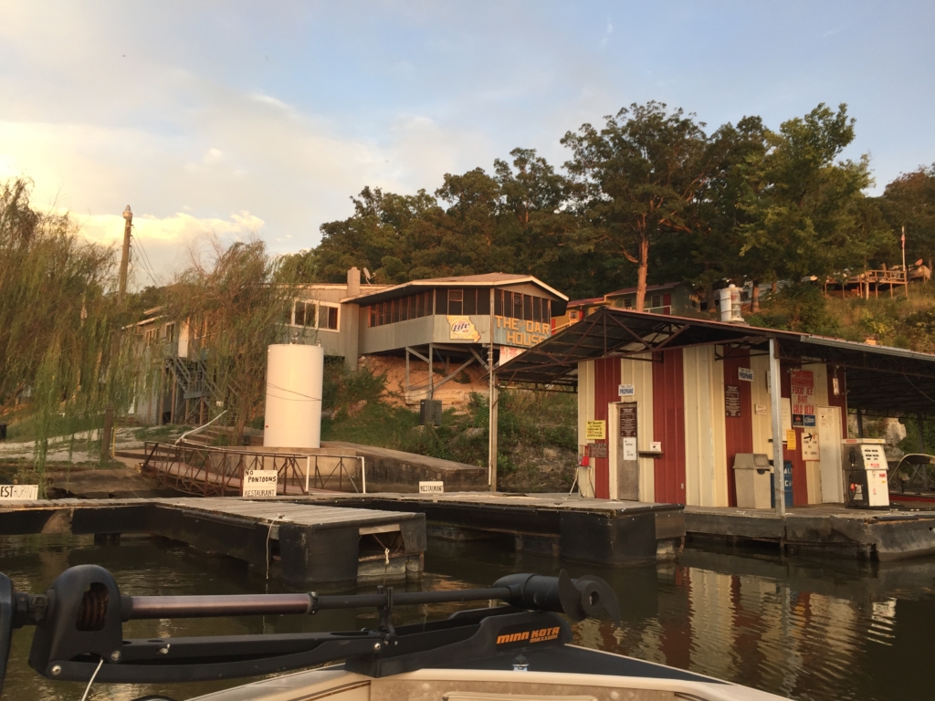
The Oar House has a new owner now, and I do not know if this is still an option. Last time we were going to go up, I tried texting and calling but never heard back, so we took a gravel road adventure instead.
The next day we headed back downstream, stopping for breakfast at Cardinal Cove and lunch at Captain Ron’s.
When you have time on your hands, a small enough boat, and a sense of adventure, get out there and see it. I’m sure you’ll come back with a story to tell.
Here’s to new adventures, and nice enough weather.
Happy boating!
About the Author