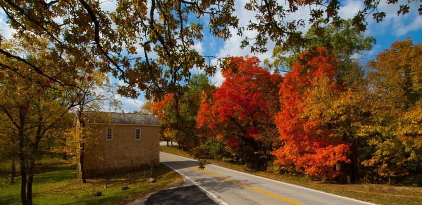
Fall in Love With Lake of the Ozarks’ Back Roads
We love being at the lake, so the off season, with it’s colder temperatures, gives us an opportunity to explore the scenery around the lake area (and even to and from the lake) via backroads without missing out on the water activities that the warmer temperatures provide. While there are occasions when you want a break from the lake for a day or two during the summer season to visit Ha Ha Tonka, cool off in one of the several caves, or check out some of the other vehicle based sites around the lake, it is especially nice to getaway in the colder months and take in the amazing back road scenery the area has to offer.
During the colder months even the popular sites will not be very busy, and the peacefulness adds to the experience.


Ha Ha Tonka State Park – Although not very far off of Highway 54, it is still worth including the best state park in the area on this list. Great for hiking the trails to see the colors of fall, see the castle ruins against the bleak winter tree branches, and the new green as the area comes back to life in the spring. The cooler temperatures help out with the long climb up the stairs as well. We start at the Tonka Spring parking lot, hike around the island, then to the spring, up the stairs and over to the ruins before returning the way we came. If you have enough time there are other trails as well – it’s easy to add in the natural bridge, colosseum and spring trail to loop back to the parking lot.
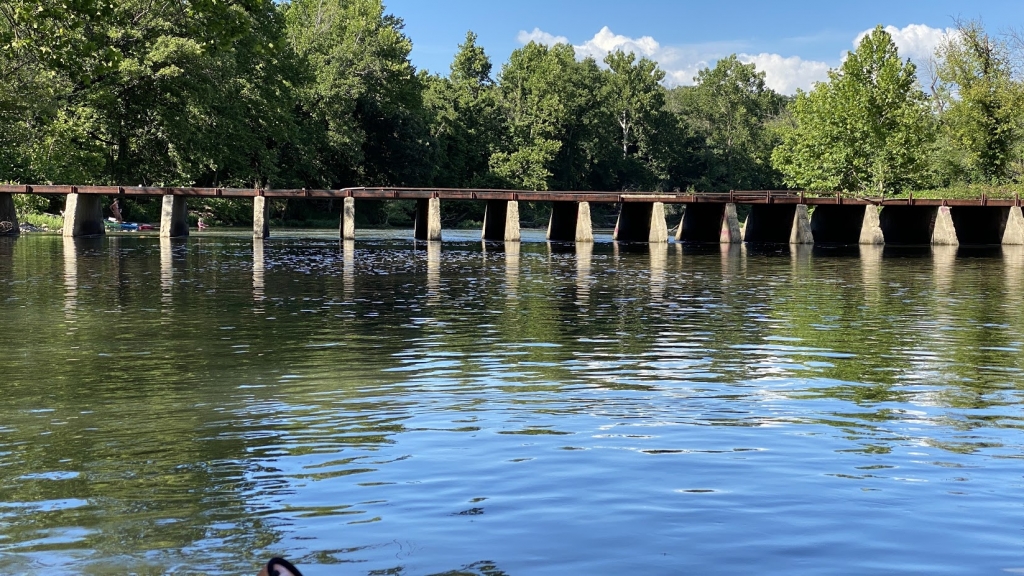
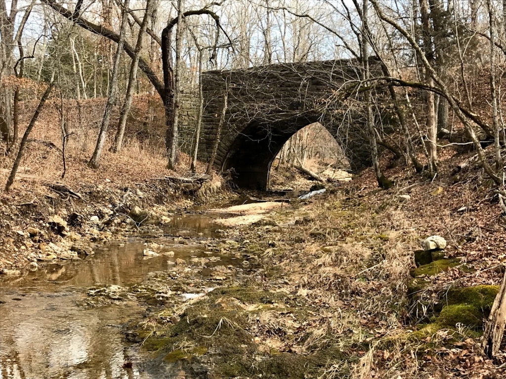
Tunnel Dam and Whistle Bridge – You can get to the tunnel dam area by taking 54 to U or you can make it a continuation of a HA Ha Tonka trip by taking D to Tunnel Dam Road.
From the high point on Tunnel Dam Rd. you can see the dam, spillway, and Niangua Lake that the dam holds back. Under the narrow ridge is a tunnel that leads water from the Niangua Lake through the tunnel to the generator at the power house on the opposite side of the ridge before rejoining the Niangua River. The water through the tunnel takes a 7 mile shortcut vs. the water flowing over the spillway.

You would need a kayak to see the powerhouse or the river on that side of the ridge, but the views of the lake, spillway and the valley below, are great just about any time of the year. If you have the time, take a lunch and have a picnic.
Below the overlook, where Tunnel Dam Road meets Whistle Road, there is a low slung one lane bridge and, depending on the water level, gavel bars along both sides of the river. This is also a good place to relax and have a picnic, skip rocks, or just watch the river go by.
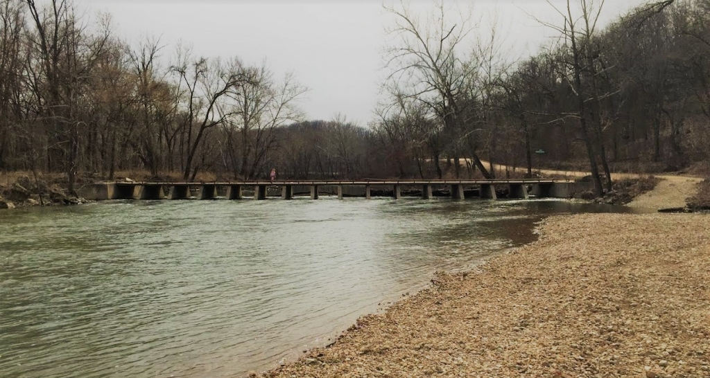
From here, you can also drive to the spillway and enjoy the waterfall, but the last section of road to the spillway is pretty rough. While I have seen cars there, you’d be better off with at least a small suv or truck.
Swinging Bridges – Heading out Highway 42 towards Brumley, the gravel Swinging Bridges Road will take you to two swinging bridges. First you will come to a smaller, lower and sturdier swinging bridge, but don’t fret.
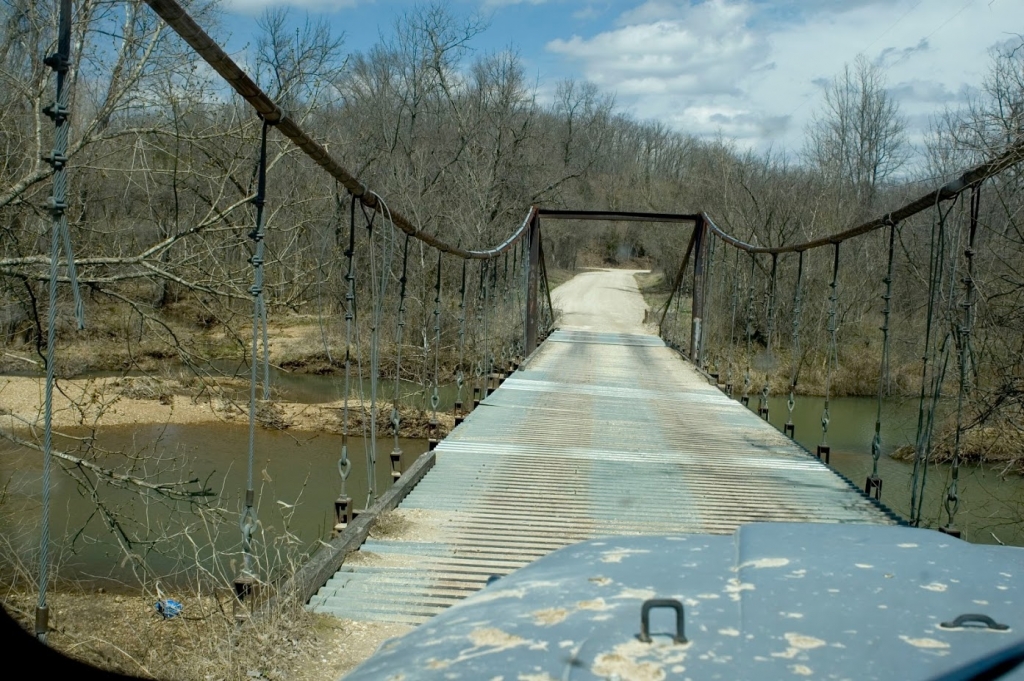
Continue on a bit further and take a right hand turn and you will be at a 500 foot long suspension bridge It was designed and constructed by Joseph A. Dice in the 1920’s, before the dam and Lake of the Ozarks was made. The creators name is fitting because driving across the bridge is a dicey proposition.
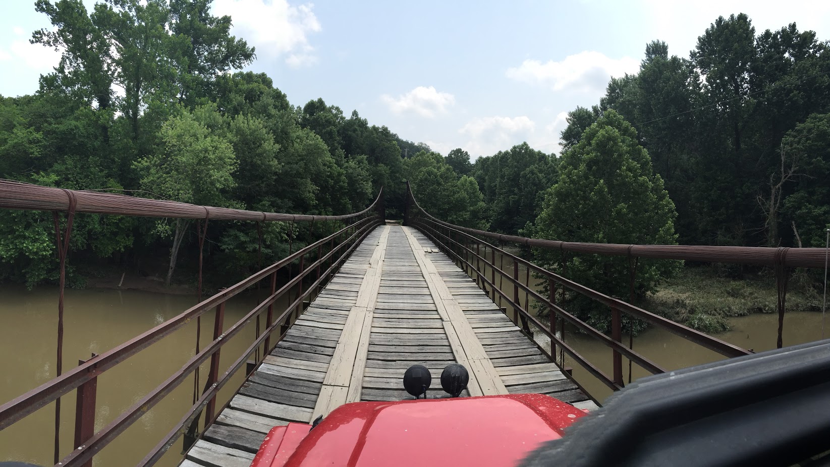
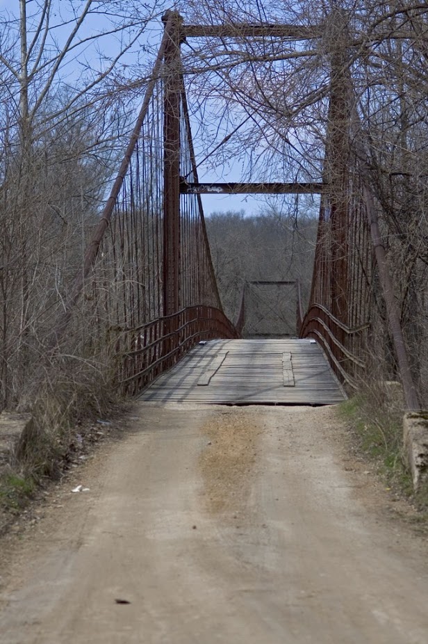
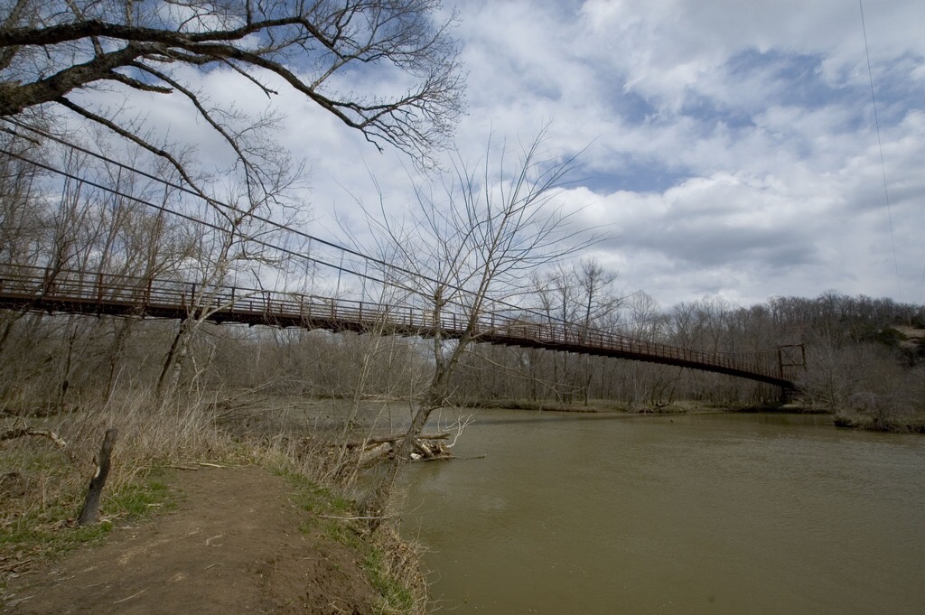
True to the bridge’s name, it starts to swing as soon as your tires hit the wood deck. To add to the excitement, the one lane bridge has enough camber or arch to it that you can not see if there is a car coming from the other direction. You can roll down your window and listen for the sound of another vehicle on the bridge though, because the bride is loud when a car is driving across.
The creek below is a nice place to spend some time. On the far side of the bridge there is a primitive campground with access to a large gravel creek bank. On summer weekends it is a busy place because of the cool, spring fed water.
From here you can head back the way you came or continue down the gravel roads (check your map, there are some turns) back to Highway A.
If you are in a 4×4, or feel like walking up the short “trail” you can see the space ship, which looks to actually be an odd shaped fire pit surrounded by some junk. It is located up the gravel road a little further. I’d tell you where, but that kind of takes the fun out of finding it yourself. There is a fair chance that the space ship is on private property, but the last time we were there we did not see any “no trespassing” signs.
Thunder Mountain fire watch tower – While this is also not really a back road trip, the old fire watch tower in Camdenton is a neat place to stop and climb to the top of the tower. From the top you can take in the views, and imagine what it would have been like to sit up there all day watching for smoke. If it happens to be a very windy day, that will add to the excitement. If you are afraid of heights, you’ll want to skip this one.
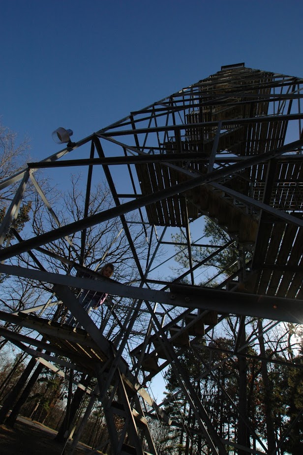
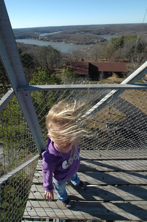
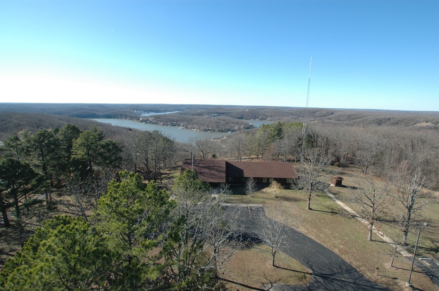
To get there you just take 5 north from the square in Camdenton to Old Route 5 to Thunder Mountain Road. The tower is right above Bridal Cave, so you can check that out also while you are there.
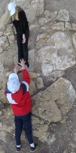
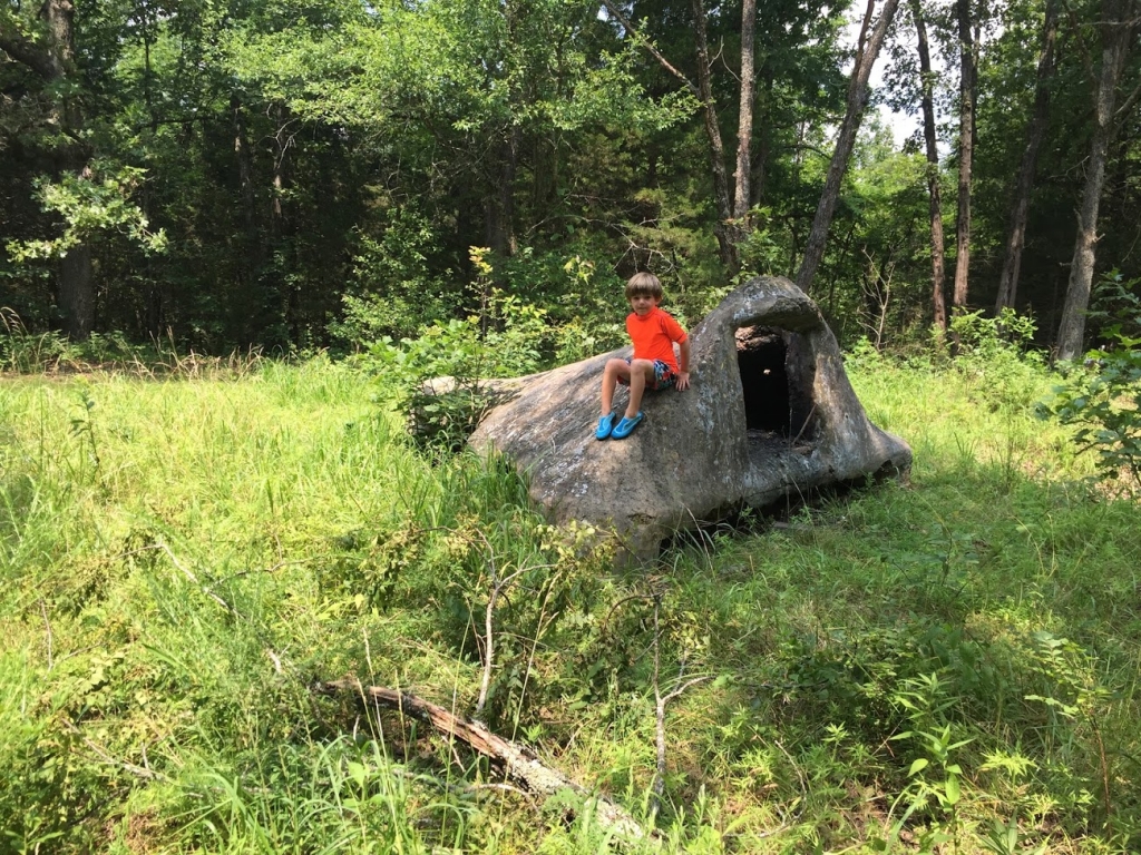
Big Rocks – I don’t know what else to call these. There is a small gravel parking area along Tangled Oaks Rd within Lake of the Ozarks State Park. From the parking area you take a very short trail to a couple of neat rock formations that are maybe 10 – 15 foot tall. Climbing to the top of them, you will notice that they are much taller on the back side.
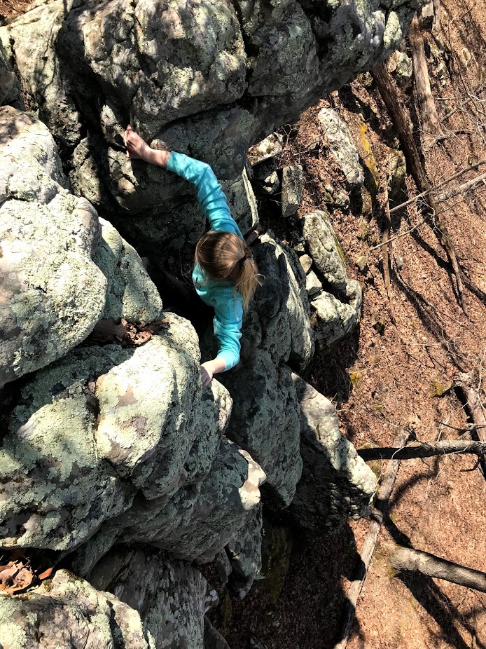
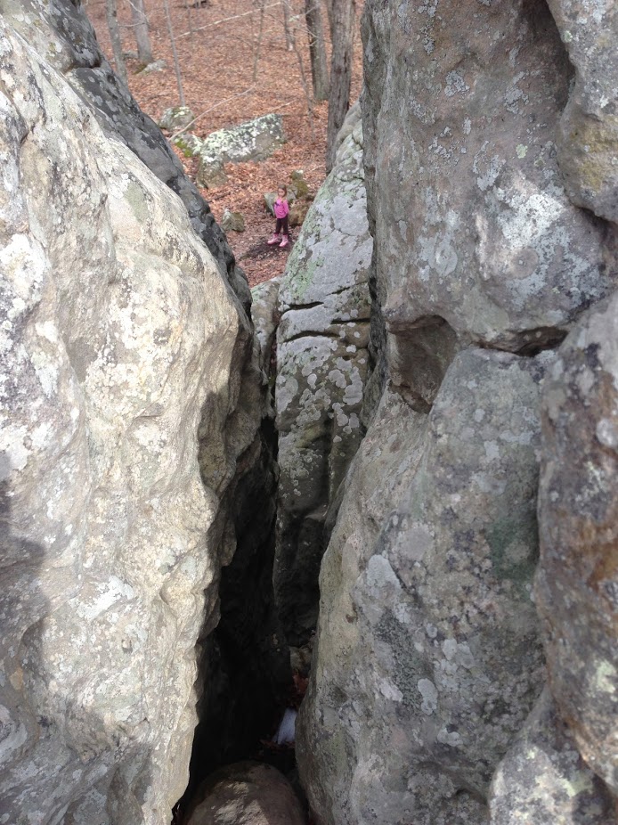
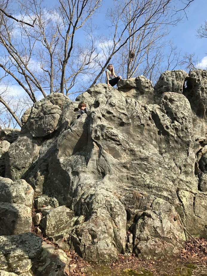
The kids love climbing around on these formations, making these simple rocks one of their favorite back road stops. For added adventure, you can also get here by boat, but is has to be a small boat that you don’t pulling on to a rocky shoreline. You can then hike by your own navigation (there aren’t any trails) up the hills to the backside of the big rocks.
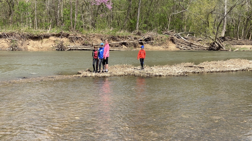
Saline Creek Conservation Area
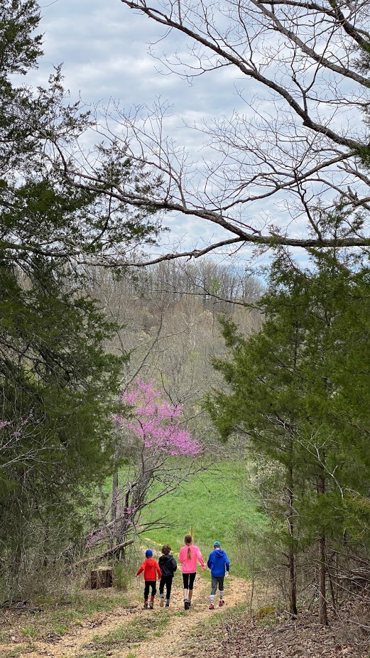
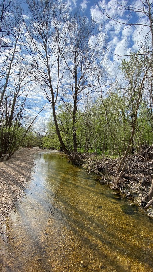
Located about 20 minutes from Osage Beach, towards Eldon, the Saline Creek Conservation area offers several locations to pull off of the road and enjoy the creek running through the quiet scenery.
While there are no hiking trails in this conservation area, there are a couple of places to hike along and trough the woods on Conservation Area maintenance roads. Check to make sure it is not hunting season before hiking though!


Lead Mine Conservation Area
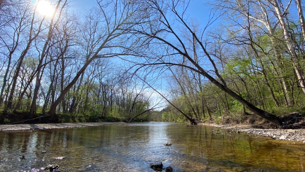
Lead Mine Conservation Area is about an hour from Osage Beach. This area has hiking trails, equestrian trails, and access to the Niangua River. Because of it’s location, this area is not typically busy, and you may barely see anyone while there. On the way to and from, be sure to keep a look out for the horse and buggy traffic that frequents the nearby roads.
You can combine this with a trip to the Tunnel Tam and Whistle Bridge if you are up for a fun gravel road adventure.
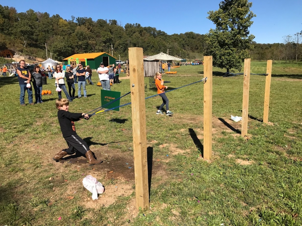
Pumpkin Farms
Since we are often still at the lake on weekends in October, we occasionally take in a pumpkin patch at one of the lake area pumpkin farms. We have been to the Mecca Family Farm, and the Cave Pumpkin Patch. The kids favor the Mecca Farm, I think because is is an actual farm. Either of them are a good way to get your pumpkin fix in, and both have plenty for the kids to do.
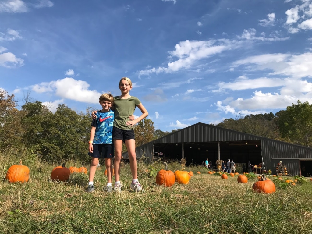
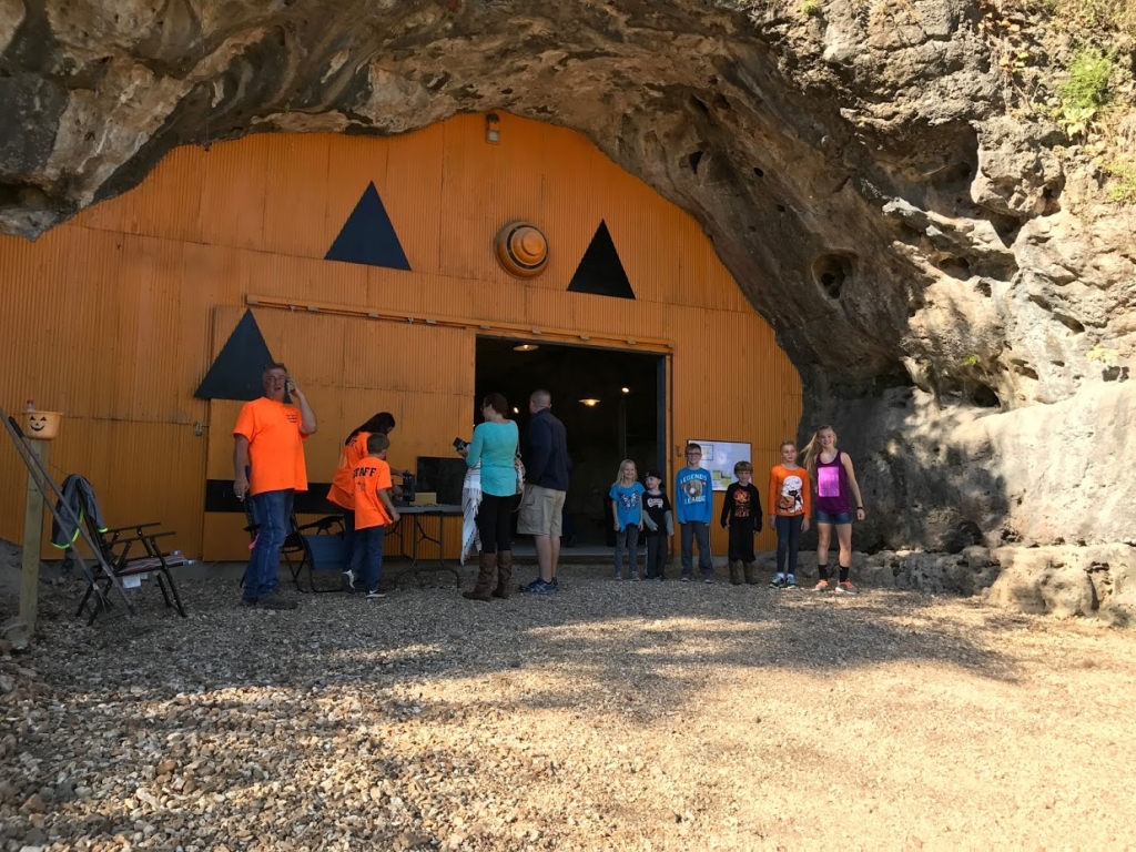
Cave Pumpkin Patch is on Swinging Bridges Road in Brumley, so you can go and visit the swinging bridges while you are there, but the pumpkin farm traffic in October will make it busier. The Mecca Farm is right off of 54 heading west out of Camdenton towards Roach.
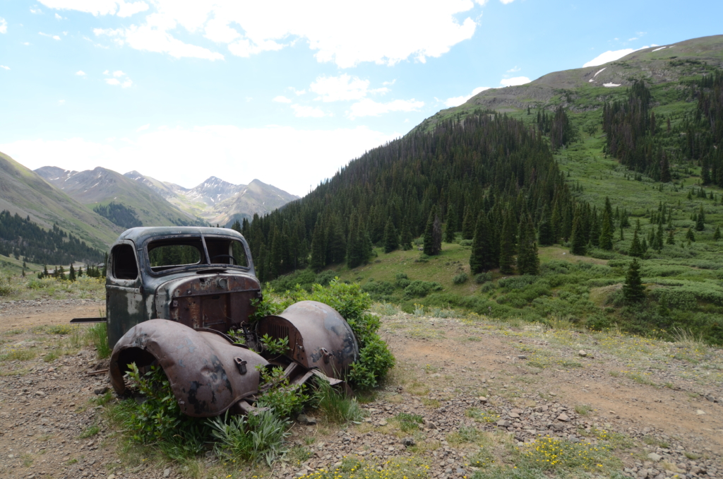
If you want to add something spooky to your day, take a drive and find some of the haunted and abandoned structures around the lake.


Let us plan your next trip!
Backroads, across the country, or both, the crew at Normal Family would love to help!
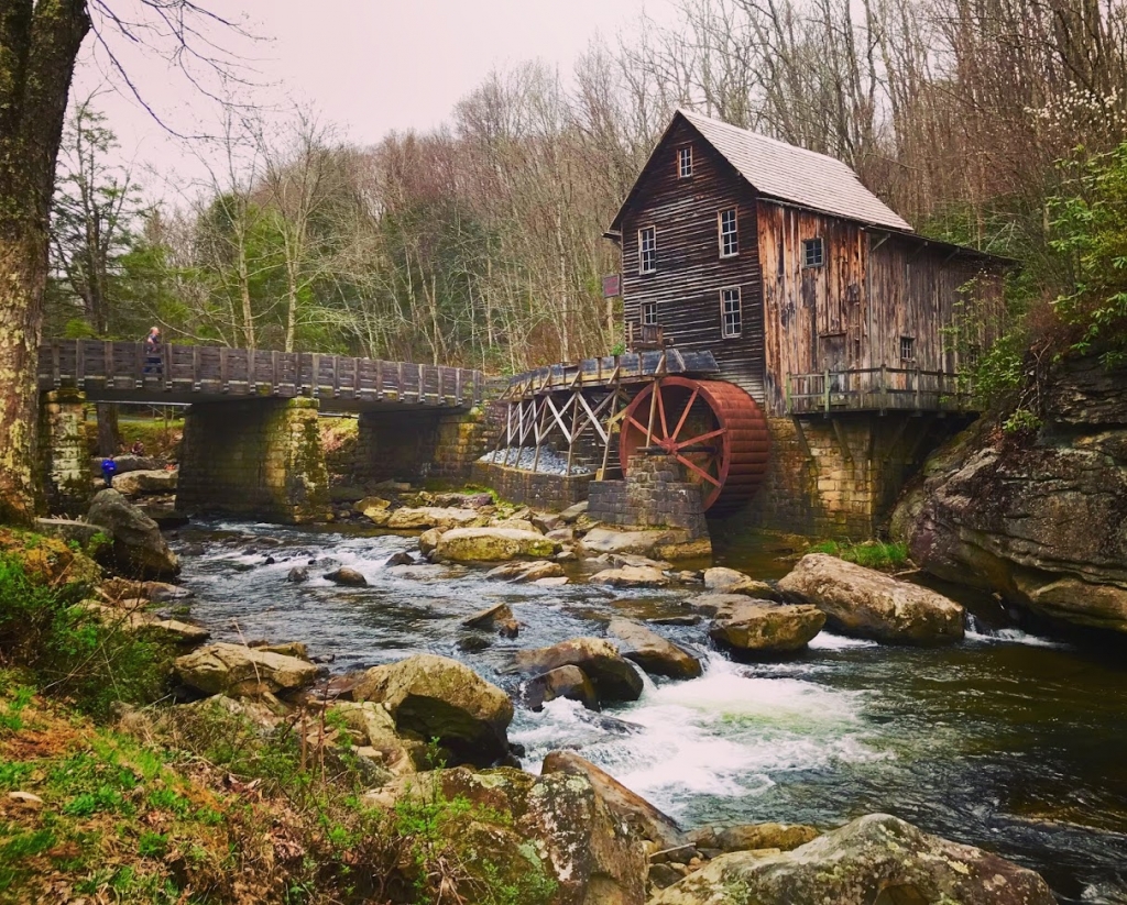
Glade Creek Grist Mill, WV
Lake of the Ozarks State Park – With over 17,000 acres, numerous trails, public beaches, campgrounds, caverns and the Grand Glaize arm of Lake of the Ozarks running through the middle, you can spend a lot of time exploring Lake of the Ozarks State Park by car, foot, or boat.
Because there is so much to do in this park, I will not try to reinvent the wheel, you can just check out https://mostateparks.com/park/lake-ozarks-state-park to see all of the activities and here https://apps5.mo.gov/trails/fullMap.action to see the trail maps.
Whether you look at the trail maps, or Google maps, just pick an area and go explore.
Warsaw swinging bridge and Truman Dam – A little over an hour from the Osage Beach area by conventional routing, Warsaw is where Lake of the Ozarks ends. 92 miles upstream from Bagnell Dam (or begins, from a water flow standpoint) you will find the Harry S. Truman Dam and the town of Warsaw, MO. Crossing the river-like Ozarks at this point is an old swinging bridge that has been converted to a pedestrian bridge. At one end of the bridge is the Dam Restaurant and Lounge if you are hungry from your travels. Nearby you will also find the Dam’s visitors center which has a nice little museum and overlook. From the visitors center parking lot there are also some hiking trails and historic log cabins in the woods that are part of the museum.


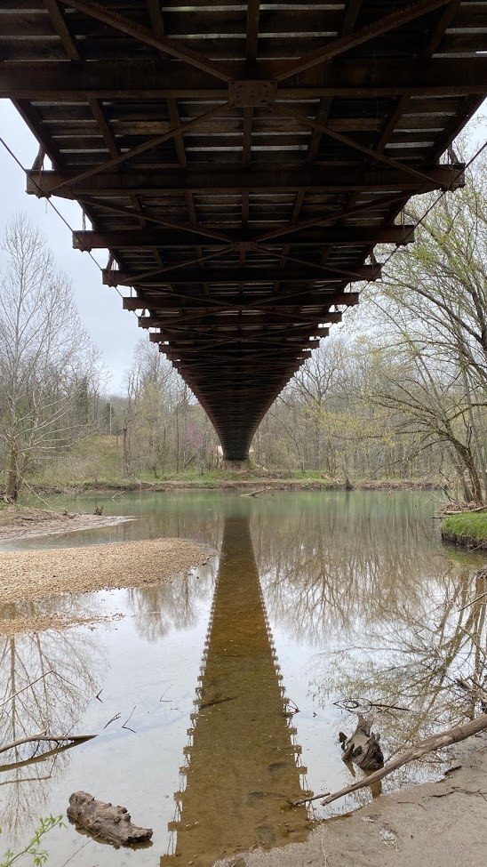
J Road Bridge and Fiery Fork Conservation Area – Heading west out of the Osage Beach area on either 54 or 7, you will come to J (which only runs between 54 and 7) and somewhere in between there is an old bridge crossing the Little Niangua. While this bridge is more solid than the swinging bridges, the fact that you can see down trough it’s road deck as you cross makes it an interesting river crossing.
A new bride for road traffic has now been constructed and a private group has been working to save the old bridge from demolition.
Down highway 7, a little further west of J road is the Fiery Fork Conservation Area. This is a small CA, without hiking trails or any amenities, but a nice quiet place to check out the Little Niangua River, Or in the case of our kids, try to dam the river. They made it half way.


In conclusion, there are many back roads, gravel roads, and peaceful vistas and water crossings to be seen around the lake. Take in some of the sites above, make your own route to discover, or we can make one for you. Just click the All American Trip Planning link below, or email Alli@normalfam.com
Let us plan your next trip!
Backroads, across the country, or both, the crew at Normal Family would love to help!
Animas Forks, CO
There is also a lot to see if you have the extra time to take the backroads to and from the lake area. Click on the All American Trip Planning link above, reach out to us by email, text or phone, and we can send you free ideas on sites to see between you and the lake area. We can also plan a complete backroad route from your home to the lake.


Sign up to get an email alert when we get around to making a new Normal Family post. Don’t worry, we are too busy finding new things to be spamming you with crap.
About the Author